Overview of the Bachelor of Remote Sensing Technology
What is Remote Sensing Technology?
Remote sensing is the science of obtaining information about objects or areas from a distance, typically using satellite or aircraft-based sensor technologies. The Bachelor’s program in Remote Sensing Technology aims to educate students about the physical principles, data management strategies, and applications of these technologies.
The curriculum is designed to provide students with comprehensive knowledge that encompasses both theoretical understanding and practical applications. Graduates of the program will be capable of utilizing remote sensing data effectively to address real-world challenges.
What Do You Study in Remote Sensing Technology?
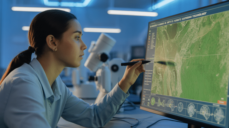
The curriculum of a Bachelor of Remote Sensing Technology program includes a mixture of core subjects and elective courses. Students gain a solid grounding in scientific theory alongside hands-on skills beneficial for their future careers.
Core Areas of Study
Scientific Principles of Remote Sensing
Students begin by studying how remote sensing technologies operate, focusing on the electromagnetic spectrum, sensor technologies, and the fundamentals of data acquisition from various platforms like satellites and drones.
Data Collection and Processing
The curriculum covers methodologies for collecting and processing remotely sensed data, emphasizing digital image processing and geospatial data analysis techniques.
Geographic Information Systems (GIS)
Students learn how to integrate remote sensing data using GIS technologies, which are critical for mapping, visualizing, and analyzing spatial data, including applications in environmental monitoring.
Programming and Computer Science
An introduction to programming (typically in Python) and database concepts equips students with skills necessary for handling and analyzing complex geospatial datasets.
Specialized Electives
Electives allow students to focus on areas of interest, such as resource mapping, urban studies, and applied spatial analysis pertinent to geology and various business applications.
Example Courses
- Introduction to Remote Sensing
- Digital Image Processing
- GIS Applications in Geology
- Natural Resource Measurements and Mapping
- Computer Science and Programming for Geospatial Sciences
Careers After Remote Sensing Technology
A degree in Remote Sensing Technology opens up various career pathways, as graduates are well-prepared for roles that utilize geospatial data for decision-making and analyses.
Potential Job Titles
- Remote Sensing Specialist
- GIS Analyst
- Environmental Scientist
- Urban Planner
- Geospatial Data Manager
- Resource Manager
Salary Overview (Global Average)
- Remote Sensing Specialist: $60,000 – $85,000 (EUR 50,000 – EUR 75,000)
- GIS Analyst: $55,000 – $78,000 (EUR 46,000 – EUR 66,000)
- Environmental Scientist: $50,000 – $86,000 (EUR 42,000 – EUR 72,000)
- Urban Planner: $75,000 – $95,000 (EUR 63,000 – EUR 80,000)
- Geospatial Data Manager: $65,000 – $90,000 (EUR 55,000 – EUR 75,000)
- Resource Manager: $58,000 – $80,000 (EUR 48,000 – EUR 66,000)
(Note: Any salaries cited may vary based on location, experience, and specific industry requirements.)
Is Remote Sensing Technology Hard to Study?
Studying Remote Sensing Technology can be challenging, as it encompasses a blend of theoretical knowledge and technical skills. Common challenges faced by students include:
- Complexities of Scientific Concepts: Grasping the underlying physics and mathematics of remote sensing.
- Technical Skills: Gaining proficiency in software and programming languages utilized in data analysis.
- Data Interpretation: Developing an ability to interpret vast amounts of data accurately.
Required Skills for Success
- Strong analytical and critical-thinking abilities.
- Proficiency in mathematics and computer programming.
- Attention to detail for data accuracy and visualization.
Preparation Tips
- Take foundational courses in mathematics and computer science before entering the program.
- Engage with software tools (e.g., ArcGIS or QGIS) and programming languages (e.g., Python) early.
- Gain practical experience through internships or projects during the study.
Top Certifications After Remote Sensing Technology Graduation
Upon graduation, several certifications may enhance job prospects and professional credibility. Graduates may consider the following:
- GIS Professional (GISP): Professional certification demonstrating proficiency in GIS.
- Remote Sensing Professional Certification: Validates skills in remote sensing applications.
- Certified Geographic Information Systems Technician (GIS-T): Focuses on technician-level knowledge and skills in GIS.
Where to Study Remote Sensing Technology
For interested students, several top universities offer excellent programs in Remote Sensing Technology:
Conclusion
A Bachelor of Remote Sensing Technology prepares students for a dynamic field growing in importance in sectors such as environmental management, urban planning, and resource management, equipping them with valuable skills and knowledge. If you are considering this program, we encourage you to explore the mentioned universities and reach out to Study in Turkiye for personalized support. Discover how you can embark on your educational journey in Remote Sensing Technology today!
Take the Next Step with Study in Turkiye
Explore further opportunities available for studying in Turkiye. Start your journey today!

